
Trace an Overland Park Street
Begin with the physical place, not a broad list of names. Johnson County AIMS can identify a parcel, its situs address, legal description, subdivision, and mapped owner lead. “Situs” means the place where the parcel sits. The Tax Bill portal adds tax detail and a separate mailing field. Neither source proves who occupies a home. A recorded deed confirms an owner or transfer, while a voter result or an old directory may connect a person to an address at a stated date.
The best Overland Park street directory search keeps each kind of evidence in its own lane. Save the parcel ID and date with every result. That prevents a tax-mailing address, a postal label, or a nearby parcel from being mistaken for the searched home.
- Enter the house number and street in Johnson County Tax Bill Advanced Search. Record the Quick Ref ID, situs address, and legal description.
- Open AIMS IMS. Select the parcel, inspect nearby parcels, and compare city, ZIP, subdivision, and map layers.
- Use Kansas VoterView only for a known person, with the required name and birth date. It has no public street-wide browse.
- Take the owner lead and legal description to the Johnson County Register of Deeds. Read the recorded instrument, not just its index entry.
- For an older household, ask the Central Resource Library about the regional city-directory shelf and verified reverse-directory holdings.
Overland Park Address Fields
An address can mean four different things in Johnson County records. The AIMS situs field identifies the parcel location. Tax Bill may show a separate billing or mailing address. USPS supplies a postal city and ZIP for delivery. AIMS also supplies the city or township layer used for map context. Compare all four before drawing a conclusion.
- Parcel
- A mapped unit of land with its own county identifier and legal description.
- Situs address
- The physical address assigned to the parcel, distinct from an owner's mailing address.
- Plat
- A recorded map that sets out a subdivision, lots, blocks, streets, and dedications.
- Criss-cross directory
- A directory arranged by street and house number rather than only by surname.
A matching mailing and situs field is still not an owner-occupancy finding. The inspected portals did not expose a public homestead or owner-occupancy field. Treat each address as a dated record field, not as proof that a person lives there.
Search Overland Park in AIMS
AIMS offers much more than a single address box. Search modes can be combined with the map extent, and several place fields use autocomplete. An underscore matches one character in an owner search, while a percent sign matches any length. This is useful when an index spelling is uncertain.
| Search field | Format or control | Street use |
|---|---|---|
| Address | Autocomplete after three valid characters | Locate one situs or a partial street lead. |
| Owner Name | Last, first or business; _ and % wildcards | Test a deed or tax-owner spelling. |
| Subdivision or Plat | Place-name autocomplete | Group lots by recorded development. |
| City and ZIP | Separate fields | Compare municipal and postal geography. |
| Street intersection | For example, 95th & Metcalf | Find a corridor when no house number is known. |
| Map extent and zoom | Checkbox and map control | Limit results to the visible part of a street. |
The AIMS partial address utility shows how county address matching works.
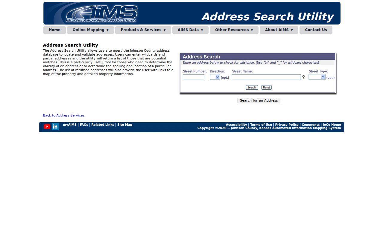
The interface is a search aid. AIMS compiles deeds, plats, tax data, and other sources, so an exact boundary still requires the legal record or a survey.
Overland Park Streets in Tax Bill
The county Tax Bill quick search accepts a house number and street. Advanced Search adds a street-number range, street name, city, ZIP range, neighborhood, property type, status, owner, subdivision, block, tract, lot, and acreage. This makes the portal useful for moving along a named street without treating it as a household list.
View the Johnson County advanced property filters before choosing a narrow street range.
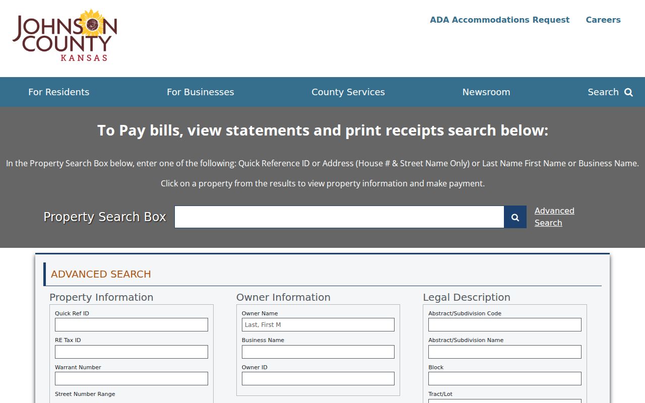
A result can show the Quick Ref ID, owner lead, situs address, legal description, values, taxes, map number, related properties, and separate mailing fields. Values are annual snapshots, and the county says they update in November.
Overland Park Records by Street
No single source supplies a full street directory. The useful record sets differ in keeper, access, and what they can support. Work from the parcel outward, and use an office request only for a defined record that is not online.
| Address source | Keeper | Street evidence | Key limit |
|---|---|---|---|
| Parcel and tax | AIMS, Quick Location, Tax Bill | Situs, parcel, owner lead, legal description, value, map | Does not name every occupant. |
| GIS map | Johnson County AIMS | Parcel geometry, nearby lots, city, ZIP, zoning and land-use layers | Reference map, not a survey. |
| Deeds and plats | Register of Deeds | Recorded parties, dates, legal description, subdivision and lot | Index and image access is changing in 2026. |
| Election records | VoterView and Election Office | Known-person match or a permitted data request | No public address-first street browse. |
| Directories | Johnson County Library | Historic name, address, and business leads | Verified reverse-directory years were not found. |
| Permits or cases | Overland Park | A defined address and date record, if held | No public permit/person index was exposed. |
The parcel ID and legal description provide the strongest bridge. Street names and postal labels may change, while a recorded lot and block can continue across tax, plat, and deed records.
Overland Park Plats and Roads
A plat connects a street name to its subdivision, lot, block, dedication, and recorded map. The Johnson County plat search accepts plat or book and page, map, year or date, city, plat ID, and soundalike terms.
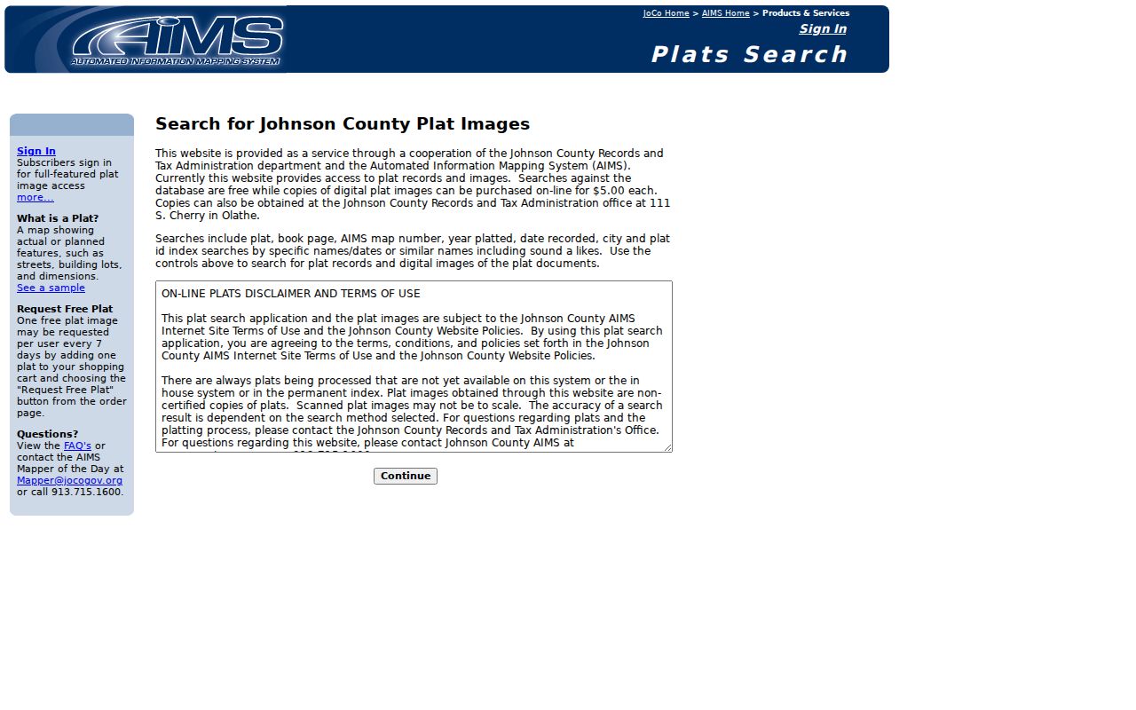
The search is free, while the county states a $5 charge for a digital plat image. A plat proves recorded subdivision context, not current ownership or occupancy.
Older road evidence uses a different vocabulary. The Historic Right-of-Way search covers dedications, vacations, and alterations from 1850 through 1949.
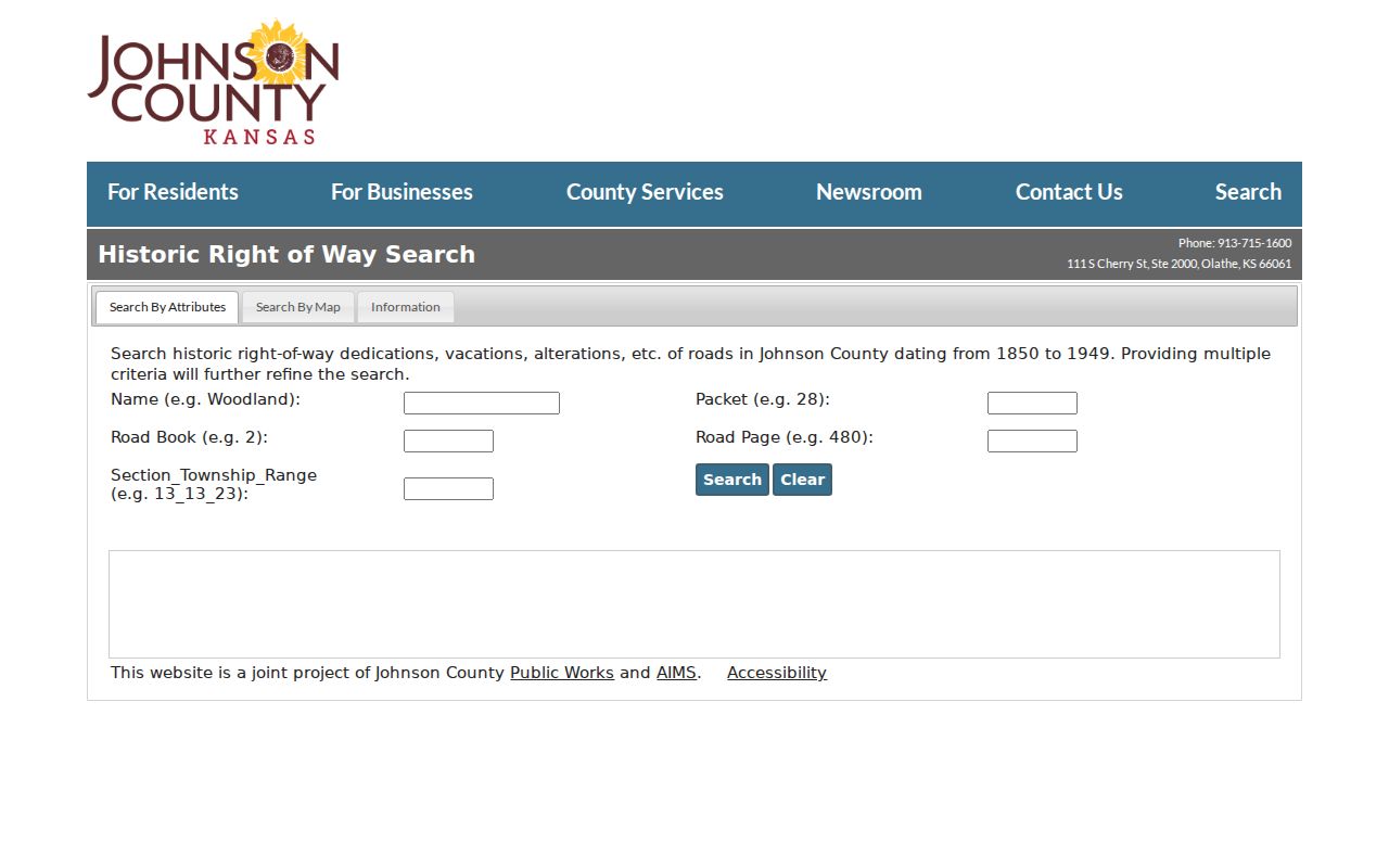
Search Name, Packet, Road Book, Road Page, or section-township-range. The system flags missing or unlinked records, which must remain an explicit gap rather than a false “no road” result.
Deeds Along Overland Park Streets
After AIMS supplies the current legal description, the Register of Deeds can confirm the recorded chain. Filing rules require recorded parties, a legal description, notarized signatures, and the grantee mailing address on deeds. Those fields help bridge an address through a street-name change.
The county's recorded document requirements show the filing route and required elements.
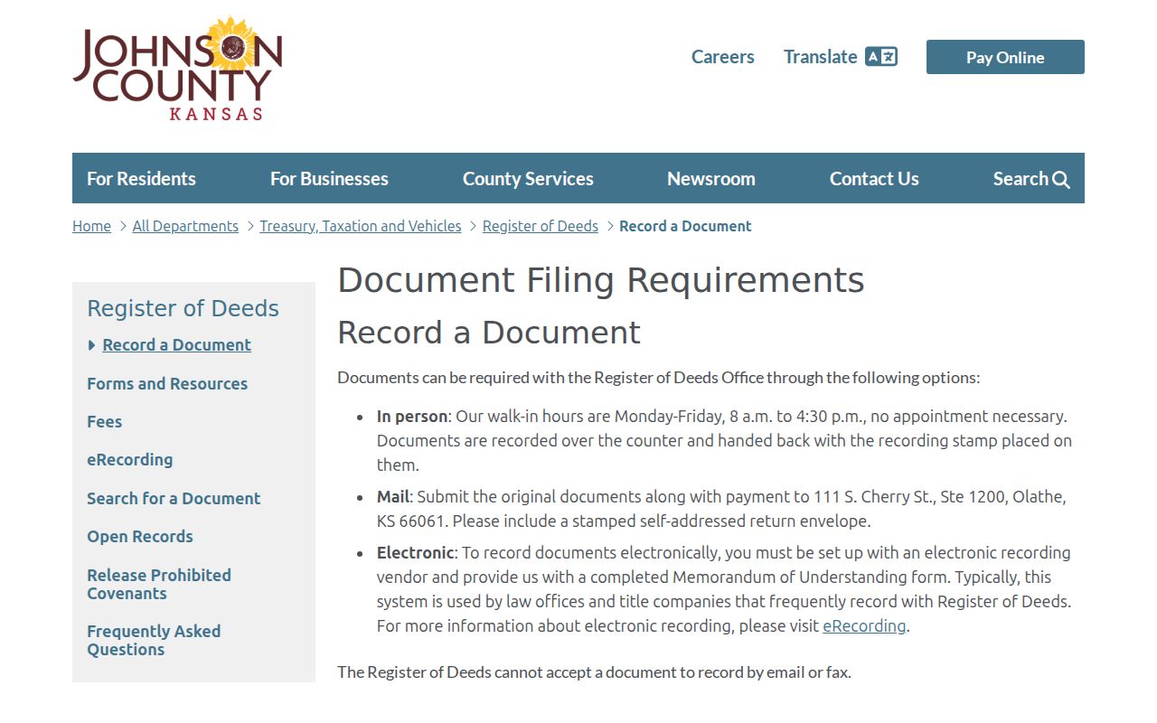
The document library describes indexes for records from 1920 through 1987 and plats from 1866 to the present. The public terminal is free. Non-subscribers can contact the office during the anticipated fall 2026 Enterprise Records Management transition, and a watermarked image should not be called certified.
Overland Park Street Buffer Maps
Some street questions concern a radius rather than one parcel. Johnson County Clerk map services can prepare a single 200-, 500-, or 1,000-foot buffer through a written KORA request. Include the target street or parcel, the chosen distance, the desired map, and contact details.
See the County Clerk map-service route before sending the request.
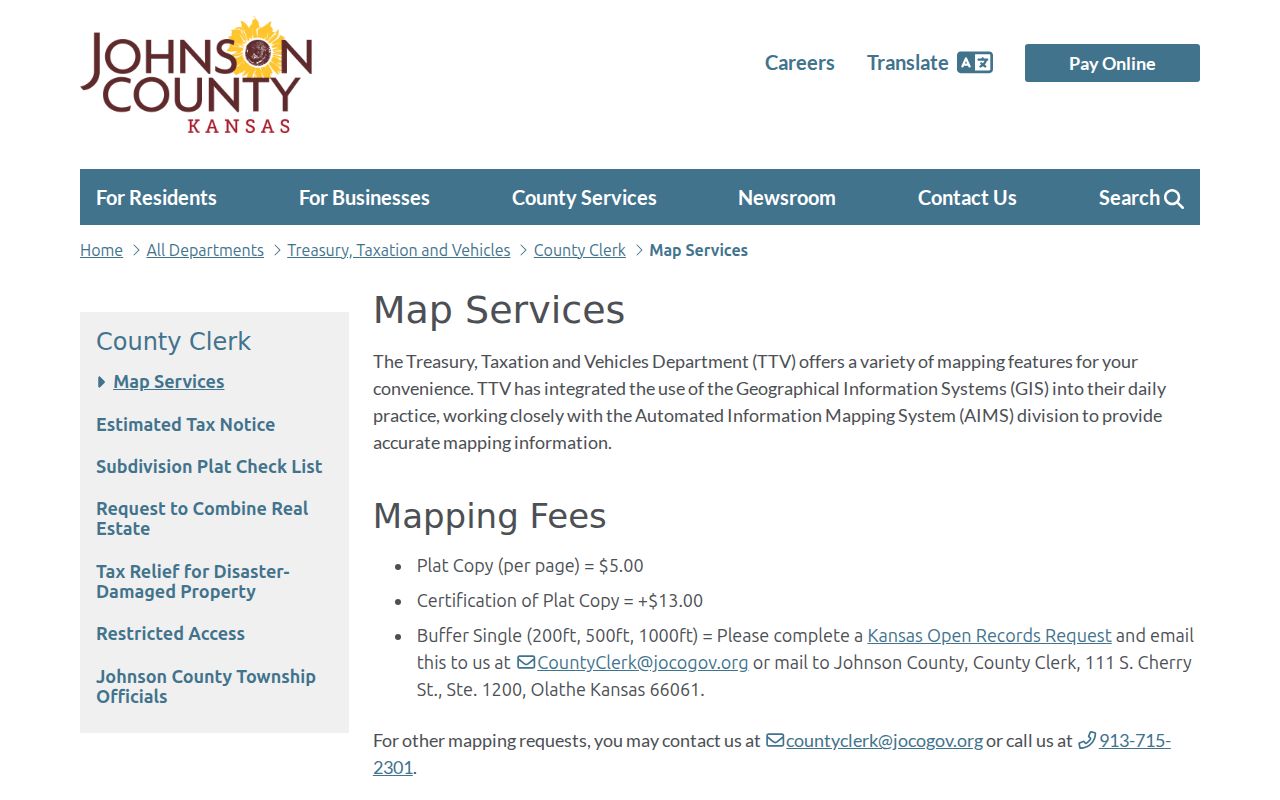
A buffer is a geographic product, not a roster. Use it to define which parcels or street segments merit further review.
Older Overland Park Street Names
Overland Park incorporated in 1960 with 13 square miles, while the official history later describes 75.6 square miles. Older sources may file the same area under Shawnee Mission, a township, a subdivision, the county, or a rural route. Search those terms beside the present city name.
A regional Mission city directory from 1962 through 1964 expressly includes Overland Park. That does not make the book a city-boundary record. For older occupants and business entries, the Overland Park city directory collection explains the shelf and its gaps without turning a print volume into a current street roll.
Sanborn maps also require care. Library of Congress guidance organizes them by state, city, and date, but no confirmed digitized Overland Park sheet was located. An Olathe sheet cannot fill that gap.
Request Overland Park Address Records
No public searchable Overland Park permit or person index was exposed. For a known address, permit type, and date range, use the city open-records portal to request an existing municipal record. KORA does not require the city to create a new report or answer a broad question.
Name the exact street address, parcel if known, record type, date range, preferred format, and whether inspection or copies are sought. County records belong with the county custodian in Olathe. City permits and municipal address records belong with Overland Park. This office split is part of a sound street directory search.
Limits of Overland Park Street Records
Parcel records can name an owner, but they do not identify every person in a home. Renters and other occupants may never appear in the land record. Utility and private delivery-customer data were not found as public street sources. Safe at Home participants may use substitute addresses, and some officials' address data may be restricted under Kansas law.
Election records have their own limits. VoterView needs a known first name, last name, and date of birth. A street-wide file or map requires a permitted Election Office request and remains subject to K.S.A. 25-2320a and K.S.A. 45-230. A polling place result shows where someone is assigned to vote, not how that person voted.
Lawful use. Use Overland Park address records for lawful personal research. Never use a street search to stalk, harass, intimidate, or harm anyone.
The safe minimum is often enough: keep the parcel ID, legal description, map, date, and public filing. Omit a current personal mailing address when those fields answer the question.