
Overland Park ZIP Coverage Leads
The official Johnson County AIMS ZIP map, marked 2025, shows 35 geographic labels across the county. Thirteen form the practical Overland Park lead set below. They are candidates to test, not a legal list of ZIP polygons wholly inside city limits. AIMS shows several cities on the same county map, so each address still needs a parcel and municipality check.
| ZIP Code | Areas Covered | Post Office | Notes |
|---|---|---|---|
| 66204 | Candidate area on county map | Overland Park Post Office, 8010 Conser St. | Shawnee Mission routing also appears; verify parcel city |
| 66207, 66209, 66210, 66211 | Overland Park candidate areas | Exact station crosswalk not found | Test each address in USPS and AIMS |
| 66212 | Candidate area on county map | Brookridge, 9727 Antioch | Facility address does not define the polygon |
| 66213 | Candidate area on county map | Oxford carrier annex, 16050 Marty Circle | Location context shown; validate each address |
| 66214, 66215 | Overland Park candidate areas | Exact station crosswalk not found | Municipal overlap requires parcel check |
| 66221 | Overland Park and Leawood-region lead | Exact station crosswalk not found | Shared municipal context |
| 66223 | Overland Park and Stanley-region lead | Stanley Post Office, 7500 W. 151st St. | Postal facility does not prove exclusive coverage |
| 66224, 66225 | Southern Overland Park candidate areas | Exact station crosswalk not found | 66225 has a Pleasant Valley Cemetery address anchor |
The research found no official one-table crosswalk between the city boundary and postal areas. It also found no verified local PO-box-only or single-institution ZIP to add. Those gaps matter. A ZIP code directory should state what the sources prove rather than assign neighborhoods or station names by guesswork.
Johnson County ZIP Map Context
The county map's full label set runs from 66018 through the 662-series areas and includes Olathe, Shawnee, Lenexa, Leawood, Mission, Prairie Village, Overland Park, and other places. That wide view explains why a boundary polygon should be read with the city layer on. A nearby ZIP may cross a municipal edge or share a regional postal label.
Use the map for spatial orientation and retain its date. Do not project its 2025 boundaries backward onto an older directory or newspaper notice. No official local history of ZIP splits or realignments was located. For a dated question, quote the ZIP printed in the dated source and compare it with an official map from the same period if one can be found.
Boundary check. A postal ZIP narrows delivery geography. The AIMS city and parcel layers determine the county's current municipal context for an address.
Search Overland Park Parcels by ZIP
AIMS IMS accepts ZIP along with address, owner, city, subdivision, neighborhood, parcel ID, plat, intersection, and abbreviated legal description. It can also constrain a result by map extent. That makes it useful when a ZIP is known but the street or municipal label is uncertain. The result is a parcel and map lead, not a personal directory.
The Johnson County Tax Bill advanced search adds a ZIP range to street range, city, neighborhood, property type, status, owner, subdivision, block, lot, tract, and acreage filters. Search a single ZIP in both ends of the range when the task is narrow. Then inspect the parcel detail and keep its quick-reference key, situs, mailing field, owner field, legal description, and record date distinct.
| Portal field | Input | Required | Use and limit |
|---|---|---|---|
| AIMS ZIP | Text, such as 66213 | No | Can pair with city or map extent; returns map and parcel context |
| Tax Bill ZIP Code range | Start and end ZIP | No | Can pair with owner, street, type, subdivision and lot |
| AIMS City | Autocomplete place name | No | Use beside ZIP to test municipal overlap |
| USPS address mode | Street, unit, city, state and ZIP | Street required | Normalizes the mailing label, not residence |
Overland Park Postal Name Quirks
USPS facility pages show why a post office is not a ZIP boundary map. The Conser Street location uses Overland Park 66204, Brookridge uses an Overland Park 66212 address, and Stanley's facility uses Overland Park 66223. The Oxford carrier-annex page also shows 66213 in its location context. Each confirms a facility label, not every address served by that ZIP.
A 2026 USPS postal bulletin provides regional postal-name context, while the county map supplies geographic context. The captured USPS bulletin page is useful for checking the wording and date of a postal source.
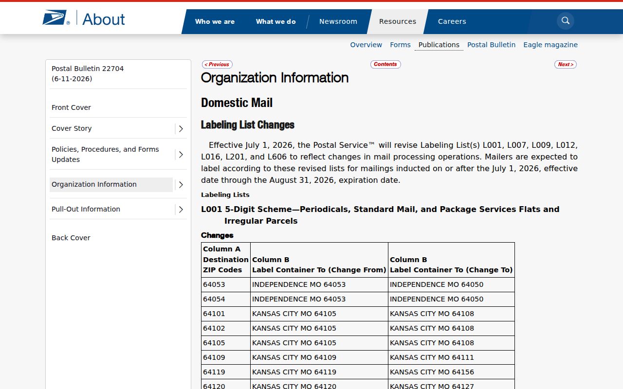
The bulletin should be paired with USPS address validation and the AIMS city layer before a mailing name is treated as a municipal fact.
Find Overland Park Records by ZIP
A ZIP code can narrow official property records, but it should not produce or imply a list of all residents. VoterView is name and date-of-birth driven, not a public ZIP browse. A permitted Election Office data request is a separate custodian process governed by K.S.A. 25-2320a and K.S.A. 45-230. Use the smallest record set that answers the lawful question.
- Enter the full street address in USPS ZIP Lookup. Save the returned mailing label without treating it as proof of residence.
- Search the same ZIP in AIMS, turn on city or parcel context, and inspect the target parcel's municipality, legal description, and map position.
- Use the Tax Bill ZIP range with a street, owner, subdivision, or property-type filter. Avoid a broad export when a single parcel will answer the question.
- If the task becomes street-level, follow the Overland Park street directory workflow instead of stretching a ZIP-wide result.
Record the portal, access date, raw query, and any boundary caveat. If AIMS and USPS differ, preserve both outputs. One may describe a parcel's municipal setting while the other formats a delivery label.
Keep Overland Park Address Fields Separate
An address string contains several facts. Store the house number, street name, directional, suffix, unit, parcel situs, tax mailing address, postal city and ZIP, parcel ID, subdivision or plat, municipality, county, and date of use. A current postal label may differ from a tax mailing field. An older regional directory may use Shawnee Mission or an old street form.
AIMS identifiers such as Property ID, KUPN, Quick Ref, and map-quarter keys should be copied exactly. The official pages did not publish a full character-by-character parsing rule, so treat each as an opaque record key. School, flood, zoning, and land-use layers give geographic context. They do not reveal private household members.
Overland Park ZIPs Versus City Limits
ZIP codes organize mail delivery, while city limits define municipal jurisdiction. Those boundaries can disagree. The 66221 lead has Overland Park and Leawood-region context, and 66223 carries both Overland Park and Stanley context in official sources. Other nearby facilities use Mission, Prairie Village, or another label. Never use the postal city alone to decide which city office holds a record.
The Overland Park ZIP code directory therefore uses a two-layer test: USPS for the mailing label, then AIMS for the parcel, city, ZIP, and legal description. Add a date when using a historical source. ZIP assignments can change independently of a parcel's legal description, and no verified local realignment chronology was found.
- ZIP and ZIP+4
- A five-digit delivery area versus the added four digits that narrow delivery within it.
- PO-box ZIP
- A ZIP assigned mainly or only to post-office boxes. No verified Overland Park example was found.
- Unique ZIP
- A ZIP assigned to one high-volume organization. No verified local example was found.
- Carrier route
- A postal delivery path within a ZIP. It is not the same as a neighborhood or city boundary.
Date Every Overland Park ZIP Finding
For family history or old address work, write that a source used a particular ZIP on a certain date. Do not claim that the place sat in today's postal area unless a dated official source proves it. Pair the old label with a directory entry, plat or deed description, and a dated map where available.
This distinction is useful because legal land descriptions tend to remain a steadier bridge than postal labels. When the current ZIP differs, the parcel ID, subdivision, block, lot, and deed chain can preserve the link. The Overland Park ZIP code directory narrows the search, while the dated parcel record explains which jurisdiction and physical place the source meant.
Note: The 2025 AIMS ZIP map is current geographic evidence, not proof of an address's postal history in an earlier year.