
Overland Park Past Resident Eras
No single roll spans the full life of an Overland Park parcel. Current AIMS and Tax Bill records establish the modern parcel, while deeds, plats, county tax rolls, regional directories, and federal census schedules reach into earlier periods. The city incorporated in 1960, so older items may say Shawnee Mission, a township, a subdivision, or simply Johnson County.
| Source | Years or marker | Where held | What it can show |
|---|---|---|---|
| Document index | 1920-1987 described online | Johnson County Register of Deeds | Recorded parties, dates, instruments, and legal descriptions |
| Recorded plats | 1866-present | County plat search and office | Subdivision, lot, block, and dedication context |
| Historic right-of-way | 1850-1949 | County road-record search | Street dedication, vacation, or alteration |
| County tax rolls | 1862-2007 | Johnson County Archives | Historical taxpayer and parcel context, not occupancy |
| Regional directories | 1962-1964; series from 2000 | Central Resource Library | Dated names, addresses, and businesses |
| Federal census | Public under the 72-year rule | National Archives and library databases | A household on one census date |
Choose the first source by date and question. Use the land record for title, a directory or census for occupants, and a map or plat to prove that an old street label matches the current parcel.
Anchor Overland Park Past Residents
The backward trail starts with a stable parcel identity. Search Johnson County AIMS or the Tax Bill property portal, then copy the situs address, parcel or quick-reference ID, subdivision, block and lot, and legal description. Situs means the physical location. The billing address may belong elsewhere and does not prove that its recipient occupied the property.
A legal description is more durable than a house number. It can link a current parcel to an older deed when a road name, postal city, or number changed. Keep the AIMS city or township, ZIP, and source date as separate fields. That small discipline prevents a mailing label from becoming a false residence claim.
Overland Park Residents in Deeds
The Johnson County Register of Deeds keeps deeds, mortgages, releases, assignments, plats, and liens. Its office is in Olathe because Olathe is the county seat. The public terminal is free, and ordinary copies are listed at 25 cents per page. The online route is changing in 2026, so verify access before relying on a saved login page.
- Record the present owner lead and exact legal description from AIMS or Tax Bill.
- Locate the newest transfer deed. Read the instrument, not just its index row.
- Save the grantee, grantor, recording date, document number or book and page, and legal description.
- Search the grantor as an earlier grantee, keeping the same parcel description and a sensible date range.
- Repeat until the index ends, then use the office terminal, Archives, deed books, microfilm, or a defined records request.
- Grantor and grantee
- The grantor transfers an interest; the grantee receives it.
- Chain of title
- The linked sequence of recorded interests affecting one parcel.
- Legal description
- The recorded land description, often by subdivision, lot, and block, rather than its street label.
The public document access landing page showed only account fields during the research check. Its captured screen makes that limit plain.
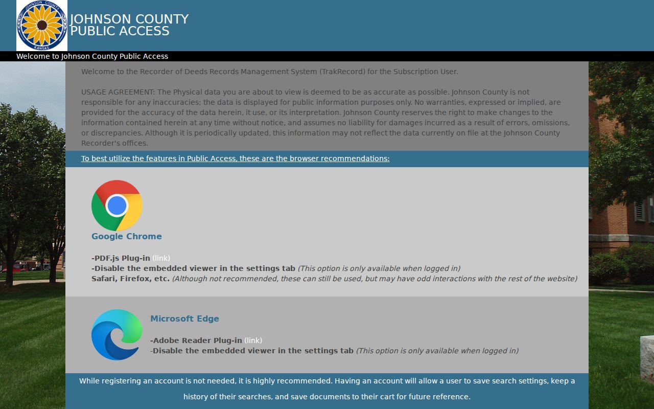
The image is a starting point, not a deed result. Non-subscribers can contact the office, use the free public terminal, or follow the current Enterprise Records Management instructions.
Note: A title company or attorney, not a research index, is the proper source for a formal title opinion.
Old Overland Park Resident Clues
A changed street can break an address-only search. The county plat search accepts plat or book and page, AIMS map, year, city, and plat ID. A recorded plat may preserve the original subdivision, lot plan, easement, or street dedication. Search is free, while the county lists a $5 charge for a digital plat image.
The historic right-of-way search covers 1850 through 1949 and uses Name, Packet, Road Book, Road Page, and section-township-range. Those fields can reveal a dedication, vacation, or alteration that a current address search misses. The system also flags missing or unlinked packets, which should remain an open gap rather than be called “no record.”
Overland Park Resident Research Desk
The Johnson County Library house-history guide pairs AIMS with historical valuations, the county historic-properties list, and local-history indexes. It adds evidence that a deed chain alone cannot supply, such as a photograph, directory entry, news item, or dated description of a building.
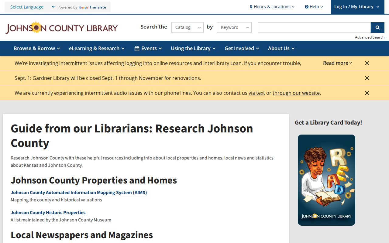
The guide supports a source-by-source timeline. Mark each finding as a direct record, metadata, inference, or unresolved point, especially when the street name or city label differs.
The Genealogy Desk at Central Resource Library offers volunteers, research computers, print material, microform, local yearbooks, maps as old as 1860, and an obituary card file covering 1977 through 2000.
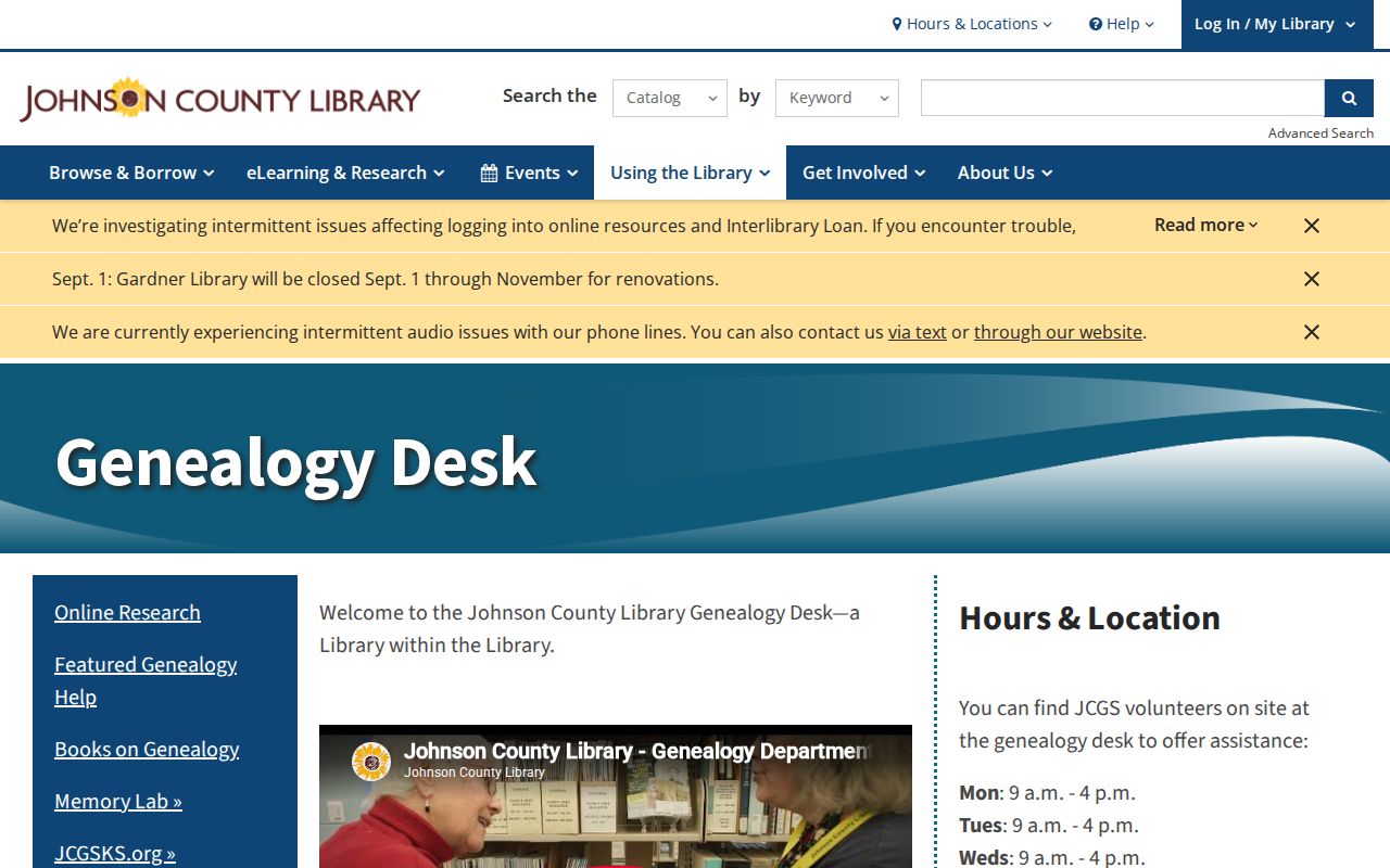
Ask for one address, name, and date range. A defined request fits the desk far better than a broad surname search and helps staff locate the right volume or card.
Match Overland Park Past Households
Owners are only one part of the past. A regional directory may name an occupant or business, while a census records a household on one enumeration date. The Mission directory catalog run covers 1962 through 1964 and includes Overland Park among several communities. A Johnson County North Polk series begins in 2000. Both are in-library resources, and neither proves that every address appears in every volume. Collection details belong on the Overland Park city directory page.
- Find the exact street number in a directory and preserve its printed place heading.
- Check nearby annual volumes for a first and last appearance, without treating an absent year as a move.
- Pair the directory with the nearest released census and verify the census geography.
- Compare names with the deed or tax roll, but label owner and occupant separately.
- Follow an endpoint through an obituary index, probate journal, cemetery record, or later deed.
The 1977-2000 obituary card file is an index lead, not the newspaper article. Archives holds probate journals, wills, and settlements, yet staff research is limited. Give a narrow name, parcel, year, and record type.
Lawful use. Research previous residents for house history, genealogy, heirs, or personal curiosity. Never use a historic trail to track, intimidate, or harass a living person.
Map Overland Park Past Residents
Sanborn fire-insurance maps can show streets, building footprints, materials, and land use for the places and dates they cover. The Library of Congress Kansas map guide is the correct discovery route, but the research did not confirm a digitized Overland Park sheet. An Olathe map is not a substitute.
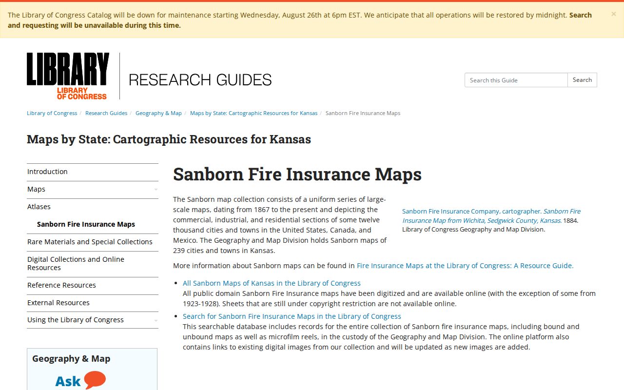
The captured guide shows where to check coverage. If no sheet appears, consider date, former jurisdiction, rural classification, and address change before concluding that the parcel was vacant.
Johnson County Archives Fallback
Johnson County Archives and Records Management holds historical land, tax, probate, naturalization, court, marriage-index, and military-discharge material. Its tax rolls cover 1862 through 2007. The research room is by appointment in Olathe, and access also runs through phone, mail, and email.
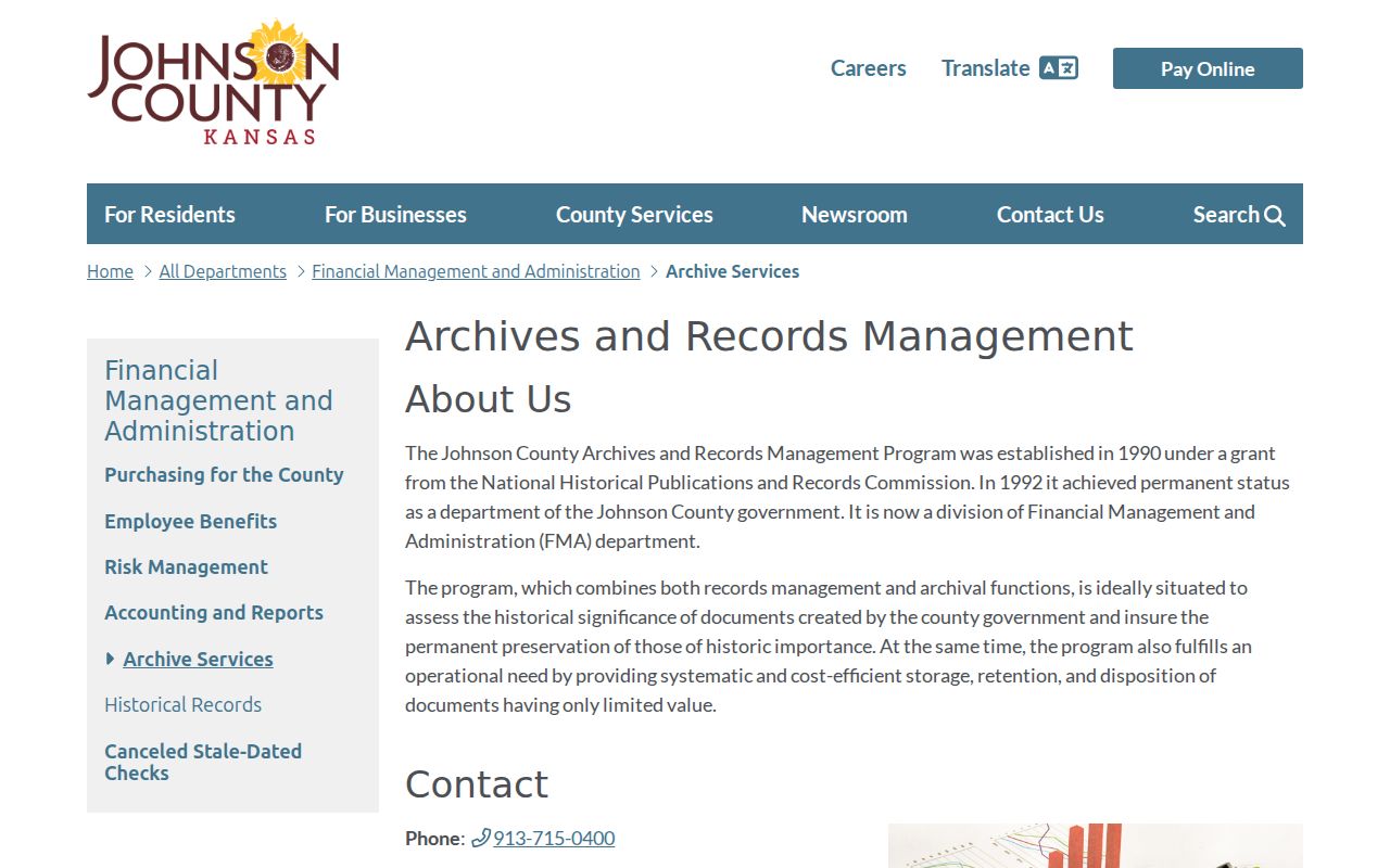
This is a physical and reference collection, not a full web index. Copies are listed at 25 cents per page, while staff provides up to 30 minutes of reference work before a $25 hourly rate and does not conduct broad genealogy.
For a missing Overland Park record, send the custodian the parcel ID, legal description, street terms, document type, and date range. Ask for inspection or a copy of an existing record. That gives Archives, the recorder, or the city clerk enough detail to route the request without creating a new resident list.
Overland Park Residents Before 1960
Overland Park incorporated on May 20, 1960. A property within today’s city may therefore appear under Shawnee Mission, township, subdivision, county, road, school, or business terms in earlier records. Search the original wording rather than rewriting it to the modern city name.
A useful example is the 1965 JoCoHistory metadata for businesses around 75th and Metcalf. It links a regional directory note to dated street addresses, but it is not a complete digitized directory page. That distinction shows why local photographs and captions can bridge an address gap without replacing deeds or household schedules. The Strang Line Car Barn, built at 79th and Santa Fe in 1906, also supplies a dated landmark for older street and business searches.
When the chain stops, preserve the uncertainty. A missing map sheet, an unlinked road packet, and an absent directory year are three different gaps. None proves that nobody lived at the address.