
Overland Park Neighbor Sources
Each public source describes a different layer of the block. AIMS supplies parcel geometry and recorded owner leads. A plat shows the legal layout. A county buffer map defines a radius. Election data has its own request rules, and city neighborhood programs describe civic activity without publishing private member rolls.
| Source | What it shows around a block | How to access it |
|---|---|---|
| AIMS parcel map | Adjacent parcels, streets, owner or tax leads, ZIP, and city or township | Free parcel-specific map browse |
| County plat | Lot and block layout, dedication, easement, and street context | Free search; $5 digital image stated |
| County Clerk buffer | Mapped geography within 200, 500, or 1,000 feet | Written KORA request |
| VoterView or election data | An individual match or permitted geographic data | Name and date-of-birth search, or a defined office request |
| City neighborhood program | Programs, grants, indicators, and civic activity where published | City pages or a narrow records request |
| Library and JoCoHistory | Past streets, businesses, photos, directories, news, and oral history | Digital objects, library databases, and in-library sources |
A recorded owner is not the same as an occupant. A tax mailing address may also be away from the parcel. Treat every name as evidence from one dated record, never as a complete roster of Overland Park neighbors.
Map Adjacent Overland Park Neighbors
AIMS Quick Location is the most direct official starting point for the immediate block. It accepts an address, property ID, owner, or KUPN, then exposes a parcel card with situs address, legal description, block and lot, subdivision, owner, billing information, map links, and nearby addresses. The map is a reference tool, not a survey.
- Search the starting address and select its parcel so the boundary highlights.
- Pan and zoom one parcel outward, then open each touching parcel card.
- Save parcel ID, situs address, legal description, subdivision, city or township, ZIP, and source date.
- Compare the mapped edges with the recorded plat when a road, easement, common area, or corner lot changes what “adjacent” means.
- Use a County Clerk buffer only when the question calls for a radius instead of shared boundaries.
The AIMS nearby-address view was captured for this block workflow.
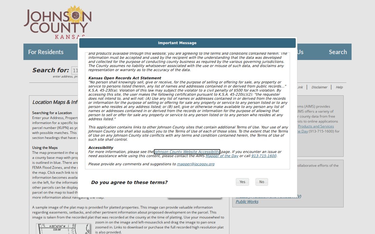
The screenshot shows the official parcel-based route. AIMS does not provide one button that exports everyone on the block, so each parcel must be checked and labeled on its own.
Once the question expands to every parcel along a named road, use the Overland Park street directory workflow instead. The block method is intentionally narrower.
Define an Overland Park Neighbor Radius
Johnson County Clerk map services can prepare a single 200-, 500-, or 1,000-foot buffer through a written request. Send the parcel or exact address and state which radius is needed. The County Clerk map-services page gives the current route, email, and phone number.
A buffer is a geographic product. It can define which parcels fall in a stated area, but it is not a household roster. If the goal is notice-area research, subdivision context, or a clear map around one site, the buffer is more precise than an informal idea of “nearby.”
Note: Save the radius, center parcel, request date, and map source so another reader can reproduce the same block boundary.
Read Overland Park Neighbor Lots
The Johnson County plat search accepts plat name or ID, book and page, date or year, city, and AIMS map. A plat can show that two homes which look close are separated by an easement, common tract, road, or later parcel split. It also anchors the lot and block labels used in deed records.
Historic streets sometimes require the right-of-way search. Its 1850-1949 packets use road book, road page, packet, name, and section-township-range fields. That unusual index can explain dedications, vacations, or alterations. Missing packet links are documented gaps and should not be read as proof that no road action occurred.
Overland Park Neighbor Groups
The city’s Neighborhood Engagement Committee develops and monitors the Neighborhood Conservation Program. The program supports voluntary groups, communication, leadership, grants, and community involvement. The public pages inspected did not expose a complete, current directory of every association or its members.
| Community resource | Verified role | Directory limit |
|---|---|---|
| Neighborhood Engagement Committee | City advisory group supporting the conservation program | Public civic page, no household directory |
| Neighborhood Conservation Program | Support for voluntary neighborhood groups and activities | No complete association status list found |
| Voluntary neighborhood organization | Geographic group of participating residents or property owners | Membership cannot be inferred from title records |
| Homes association | Association created through declarations and restrictions | No official citywide downloadable roster found |
The city committee page provides the verified civic contact layer.
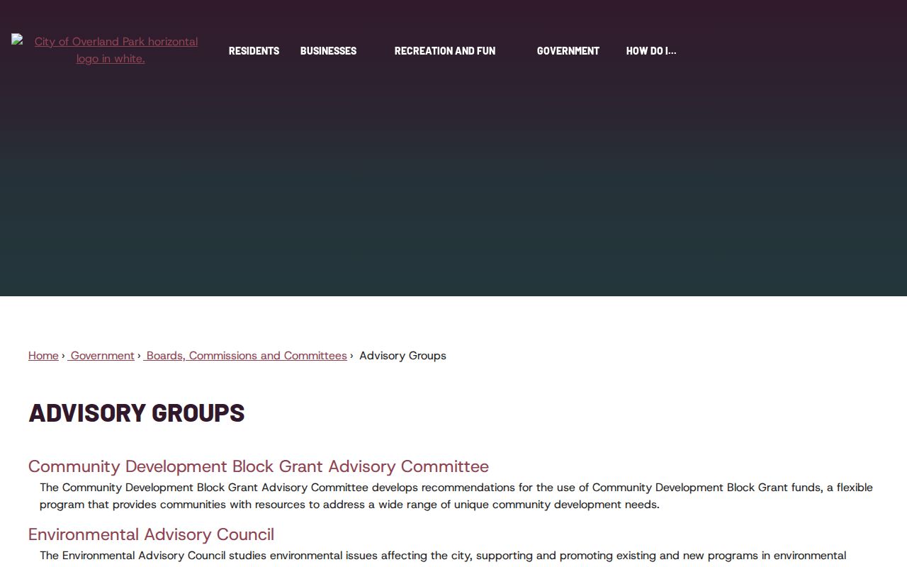
The page can confirm the program and its public work. It cannot establish who belongs to a specific association, so request a defined grant, meeting, boundary, or indicator record when that is the actual need.
Overland Park Neighbor Voter Limits
Kansas VoterView is driven by a person’s name and date of birth. It can return registration and polling context for a matched person, but it does not offer an address-first browse of every voter on an Overland Park block. A polling place also describes an assigned voting location, not where every nearby resident lives.
A geographic election question must go through the Johnson County Election Office request process. Kansas restrictions under K.S.A. 25-2320a and K.S.A. 45-230, identification, fees, and protected-address rules apply. Ask for an existing, defined file or map and state the geography and fields. Do not request or republish a broad household list.
Official Overland Park Neighbor Evidence
Commercial neighbor tools may combine parcel extracts, directories, and other data. They can be old, join two people with the same name, or confuse a mailing address with the physical parcel. Official sources are narrower, yet their custodian, field meaning, date, and correction route are easier to identify.
| Question | Official record route | Commercial category |
|---|---|---|
| Which lots touch? | AIMS parcel map plus recorded plat | Map source and update date may be unclear |
| Who owns a parcel? | Dated tax or deed owner field | May merge old owners and occupants |
| Who belongs to a group? | Ask the group or city for a defined public record | Membership may be inferred without proof |
| How is an error fixed? | Contact the named record custodian | Correction may affect only one private database |
Use the least personal record that answers the question. A parcel ID, plat, public meeting record, or civic boundary often provides sound neighborhood context without compiling current contact data.
Historic Overland Park Neighbors
Current parcel cards describe today’s block. For an older view, the Johnson County Library genealogy collection adds directories, yearbooks, obituary indexes, maps, microform, JoCoHistory, and other local databases. A historic directory or photograph may identify a past household or business, but its date and printed place label must stay attached.
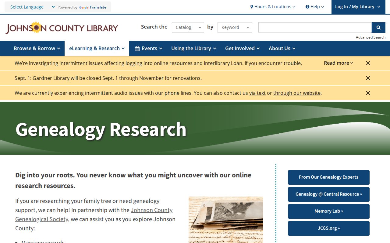
The library screen points to the collection layer, including staff help. It does not imply that an online reverse directory exists; verified criss-cross years were not found in the inspected sources.
Pre-1960 addresses may use Shawnee Mission, a township, subdivision, or county term because Overland Park had not incorporated. A dated plat, regional directory, and JoCoHistory object can reconnect the old label to a modern parcel without forcing today’s city boundary onto the past.
Overland Park Neighbor Boundaries
Pleasant Valley Cemetery offers a public burial search by a deceased person’s last name or lot owner. Its historic cemetery district extended across parts of Overland Park, Olathe, Leawood, and unincorporated Johnson County. That makes a burial entry useful for local family or community history, but the cemetery boundary is not a city line.
This is a good model for all block research. ZIPs, postal labels, plats, school areas, cemetery districts, and municipal limits may overlap without matching. Keep the geography named by each source and avoid turning one boundary into another.
Protect Your Overland Park Neighbors
Public parcel data does not reveal every occupant. Renters, family members, utility customers, delivery accounts, and people not named in a public record remain outside the owner roll. Sealed court information and nonpublic municipal material also stay unavailable. Kansas Safe at Home can place a substitute address in public-record settings for qualifying participants.
A blank, alternate, or redacted address may be an intentional safety measure. Do not try to reverse it with parcel, voter, court, map, or historical clues. The Kansas Safe at Home program is the proper source for its confidentiality rules.
Lawful use. Look up Overland Park neighbors for civic curiosity, reconnection, block history, or personal safety. Never use these records to watch, intimidate, stalk, or harass anyone.
A careful neighbors lookup ends with limits as well as results. Label owners as owners, occupants only when a dated source names them, and unresolved gaps as unresolved.